
Storm Bert has arrived in Scotland with snow, driving rain and wind causing chaos across the country.
Scots are being urged not to travel “unless absolutely necessary” as the weather closes roads and creates dangerous conditions for drivers.
The Central Belt has struggled to keep moving with traffic coming to a standstill on parts of the M8 and M73.
The Queensferry Crossing was shut to vehicles this morning with traffic directed across the Forth Road Bridge.
Meanwhile, Lothian Buses cancelled all services given the dangers posed by the weather.
Nearly all of Scotland is under a Met Office weather warning, including an amber snow and ice alert for parts of the Highlands, Aberdeenshire, Perth and Kinross and Angus.
An amber warning for snow has also been issued for the Borders and Dumfries and Galloway.
READ MORE: Live: Storm Bert grips Scotland as snow sweeps in, trains cancelled and Queensferry Crossing closed
Meanwhile, almost all of the country is under a yellow warning for snow and ice, and a wind warning has been issued across large swathes of the country from the Western Isles to Aberdeenshire.
Travellers are suffering major disruption on Saturday, with warnings that more is to come.
Emergency services closed junctions 13 and 14 of the M74 following a crash at around 7am.
Traffic Scotland warned of “extremely poor driving conditions” in the area.
The A68 between St Boswells and Ancrum in the Scottish Borders has also been closed following a five-car crash in the area.
Meanwhile, ScotRail has cancelled services from Inverness to Elgin, Aberdeen to Inverurie as well as Glasgow Queen Street to Oban.
The transport operator said trains from Glasgow Central to Carlisle will terminate at Dumfries.
Ferries have also been hit with disruption with CalMac cancelling several services on Saturday and P&O has cancelled a service between Larne in Northern Ireland and Cairnryan in Scotland.
The Met Office said the bad weather means there is a risk that some rural communities could be cut off, while an amber warning means there is a potential risk to life.
The forecaster said: “Heavy snow will spread north-eastwards on Saturday morning, giving significant accumulations in many areas.
“Accumulations of 10-20cm are likely on ground typically above 200m, with potentially as much as 20-40 cm on hills above 400m.
“Snow will eventually revert to rain during Saturday afternoon but may be preceded by a short spell of freezing rain in places adding to the ice risk.
“Strengthening winds will lead to drifting of lying snow, with difficult travelling conditions likely on higher level routes, and the risk of interruptions to power supplies.
“A fairly rapid thaw of lying snow is then likely on Saturday night as milder air moves in.”
On Sunday, some of the more severe weather will ease in the east but the vast majority of the country will remain under a yellow rain and snow warning, while the Western Isles will also fall under a yellow wind warning.
Further travel disruption is expected then.
Flood warnings have also been issued across the North East as snowmelt gives way to forecast heavy rain this evening.
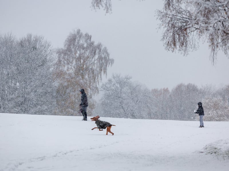
1. A snow day from Storm Bert
People out walking during heavy snowfall at Bannockburn, near Stirling | Robert Perry/PA Wire
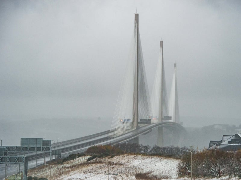
2. Queensferry Crossing closed
The Queensferry Crossing has been forced to close as a safety precaution due to a risk of falling ice. | Lisa Ferguson
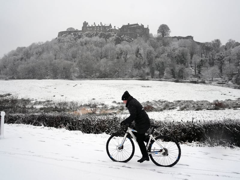
3. Snow rider
A person rides a bicycle in the snow at Stirling Castle. PIC: Andrew Milligan/PA Wire | Andrew Milligan/PA Wire
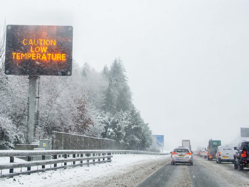
4. Winter hits the Central Belt as Storm Bert arrives
Drivers on the M73 at Cumbernauld and Castlecary face difficicult conditions to drive in this morning | Lisa Ferguson