
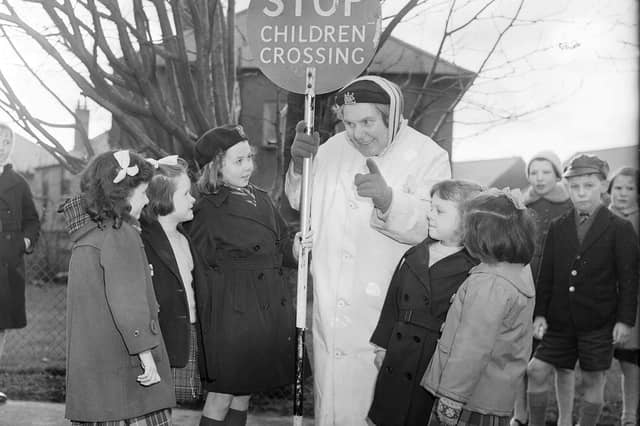

Just 75 years ago the area we now know as Oxgangs was mainly farmland, but a series of building projects in the 1950s and 1960s led to it being transformed into a new Edinburgh community.
The suburb gets its name from an old unit of land measurement used by farmers – with eight oxgangs in a ploughgate, and four ploughgates in a dabhach.
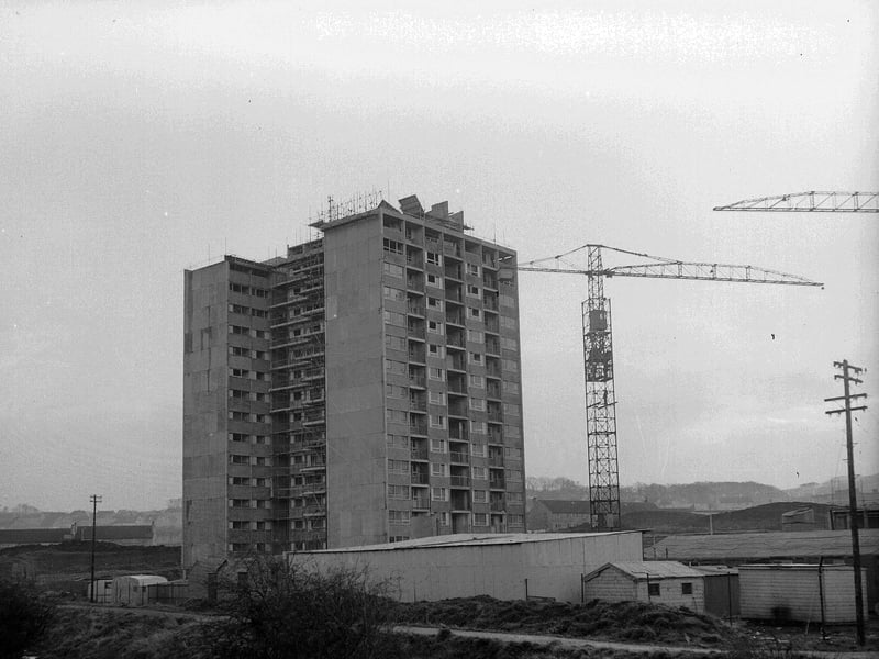
It remained an area of countryside left largely untouched by developers until the early 1950s, when it became the site of large public housing schemes consisting of bungalows and high rise tower blocks.
The majority of houses were originally council-owned but the ‘right to buy’ scheme introduced in the 1980s meant many renters became owners, with fewer than 700 homes now under local authority ownership.
Read more:
Edinburgh Old Town Heritage in Pictures: Here are 28 fascinating photos of the city's historic centre in the 1950s and 1960s - from parades to pubs
There are three churches in the area – a Church of Scotland, a Scottish Episcopal Church and St Mark's Roman Catholic Church – while children attend Pentland Primary, which was created by merging Comiston Primary and Hunters Tryst Primary.
Residents campaigned for years to remove the Oxgang high rise flats, which the council agreed to do in 2023.
The Capelaw Court tower block was demolished in April 2005 to make way for new housing, with the other two buildings – Caerketton Court and Allermuir Court – following a year later.
Here are 25 pictures to take you back to the Oxgangs of the 1950s and 1960s.
Make sure you don't miss a moment of breaking news from across Scotland by signing up to our free newsletter here.
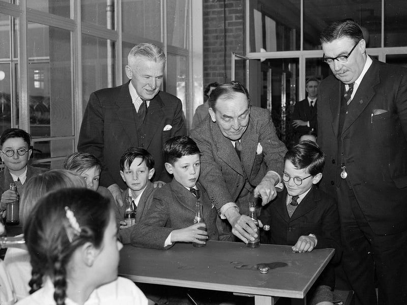
1. Back to school
Undersecretary of State for Scotland Mr J Henderson Stewart and some pupils at the new Oxgangs Primary School in March 1956. | TSPL
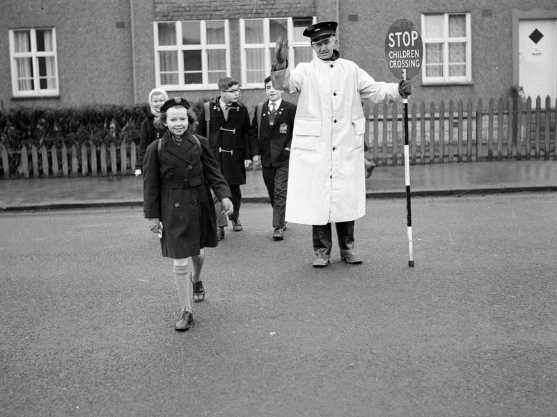
3. Helping hand
Traffic warden and lollipop man William Withnell shows children across Colinton Mains Road to Oxgangs Primary School in March 1963. | TSPL
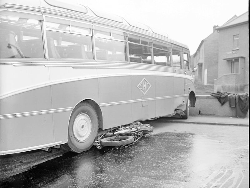
4. Accident site
The aftermath of a crash between a motorbike and a bus at the junction of Oxgangs Road and Oxgangs Farm Drive in May 1960. | TSPL